Devon · PL19
Aerial survey of land and sites around Tavistock
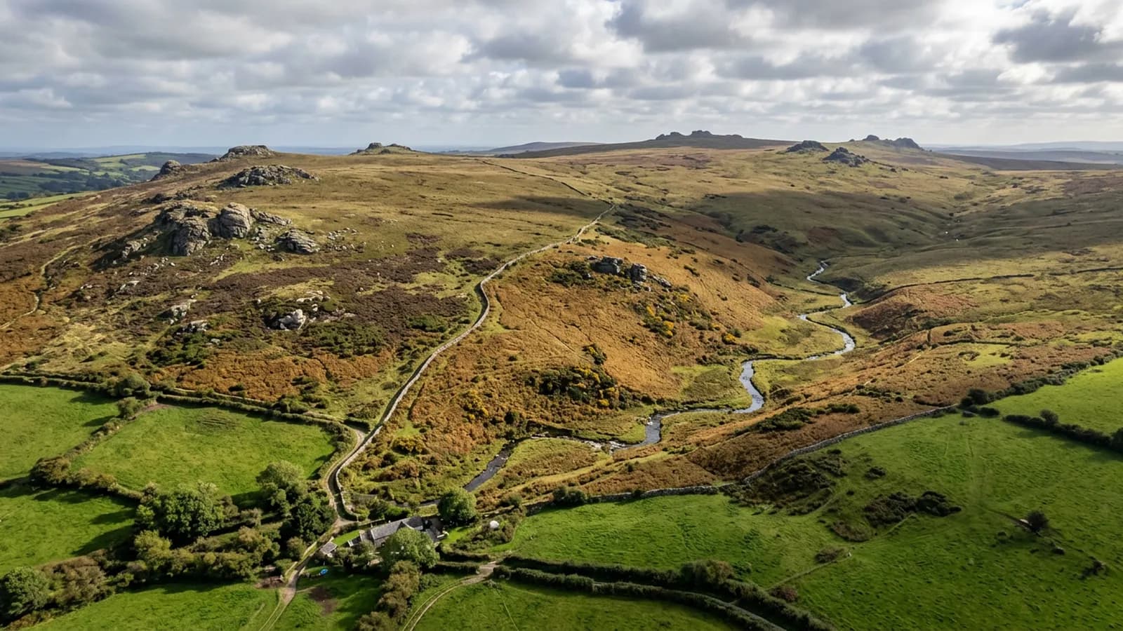
Aerial survey in the Tavy and Tamar valleys, mining country where spoil, shafts and leats make ground far better looked at from above than walked over.
Old mining ground is dangerous to walk and easy to fly
The country between the moor and the Tamar carries the remains of a long mining history: spoil heaps, capped and uncapped shafts, adits, leats, dressing floors and tramway alignments, much of it now under scrub and bracken.
That is exactly the sort of ground where an aerial capture earns its price. Nobody has to walk it to record it, the whole layout reads at once from above rather than as a series of disconnected features, and a dated set of frames gives whoever assesses it something to work from before anybody sets foot on the site.
What the vegetation hides, and when
The catch on mining ground is cover. Bracken, gorse and scrub grow over spoil and around old workings, and in late summer they hide the very features that matter. A survey flown in August of a bracken-covered burrow shows a green blanket.
Late winter and early spring, once the bracken has collapsed and before growth restarts, is dramatically better. On this ground the season makes more difference to the result than any other single decision, and it is worth planning around rather than accepting whatever date is convenient.
Steep valley sides, east and west
The moor rises to the east and the Tamar valley falls away west, so almost nothing here is flat. Holdings and sites regularly span a couple of hundred feet of height, which no single flight level serves well.
The planning answer is the same as on the other steep ground covered by this site: separate runs at separate heights, or terrain-aware planning where the parcel allows it. The difference here is how often it applies, which is very nearly always.
One of the wettest corners covered
Dartmoor to the east and a prevailing south-westerly coming up the Tamar make this very wet country, and low cloud sits on the valley sides more often than the coastal forecast implies.
Repeat sites cope with that better than one-off bookings, because the plan is already recorded and a return visit can be flown at a day's notice when a settled morning appears. For a single survey, the realistic approach is a target week rather than a target date.
Heritage ground and what a record is for
A good deal of the mining landscape here has heritage designation, and recording it is a legitimate reason to fly: extent, layout, condition, encroaching vegetation, and how the features relate to each other across a site.
What comes out is a photographic record and a measurable model of the surface, with the date and conditions attached. Assessment, significance and anything about the archaeology itself belong to people qualified to give them, and the report is careful to stop where their work begins.
Getting to a site in this country
Access here is its own planning problem. Sites sit down single track lanes with passing places, up unmade tracks that are washed out after a wet winter, or across ground that a vehicle has no business on at all.
For an aerial survey that matters only as far as the take off point: somewhere firm, clear of stock and people, with a decent view of the working area. Establishing where that will be, before the visit rather than on arrival, regularly saves half an hour of driving round a holding looking for a gate that opens.
Behind the survey
What Tavistock clients are actually buying
Registered operator
CAA registered, with an Operator ID and a Flyer ID held. Both are checkable, and any land agent or consultant is welcome to ask for them before a flight is booked.
A2 Certificate of Competency
The A2 CofC, which is what governs how close the aircraft may work to people who are not part of the job. No GVC is held, so operations are planned inside the A2 CofC.
Aircraft
A DJI Mavic 4 Pro carrying a 100 megapixel Hasselblad camera and 6K video, and a DJI Mavic 2 Enterprise Advanced with a 640 by 512 radiometric thermal camera.
Insurance
Insured with Coverdrone for commercial operations. A certificate goes to your office before the visit if your site induction needs one on file.
Nearby
Also covered around Tavistock
- OkehamptonAerial survey on the northern edge of Dartmoor, where military range days and some of the worst weather in the county decide what can be flown, and when.
- LauncestonAerial survey either side of the Tamar in east Cornwall, high open farmland with big holdings, industrial ground by the trunk road and weather off two moors.
- IvybridgeAerial survey on the southern edge of Dartmoor, where wind funnelled down the Erme valley and the line between moor and enclosed land shape every flight.
Tell us the output you need
Request a quote in Tavistock
Send the address and what is worrying you. Sam Hembury will come back with a fixed price and the next slot that suits the weather.