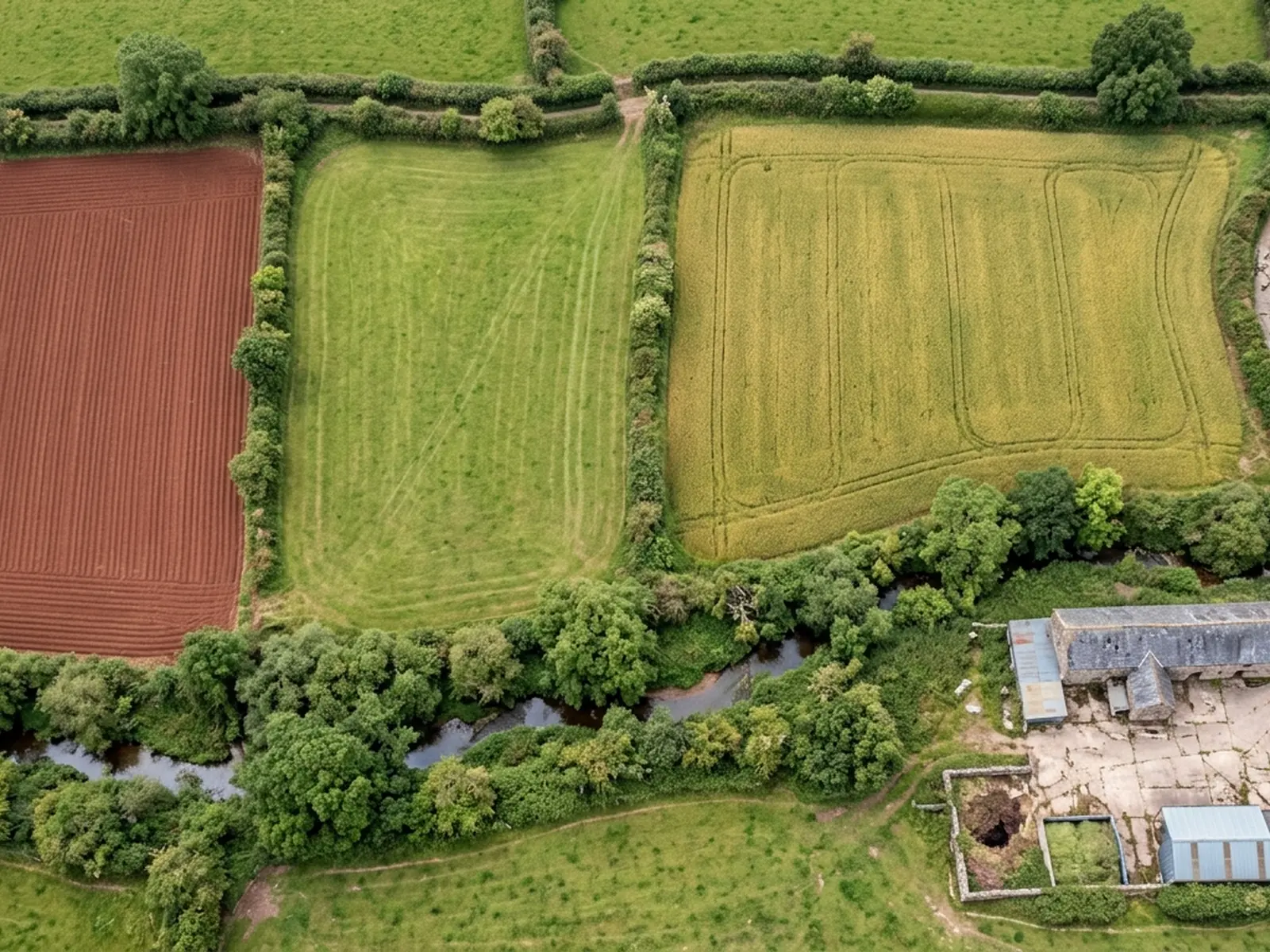
Aerial site mapping
A planned photographic run over a parcel or a site, and the orthomosaic, surface model, contours or point cloud built out of it.
Site mappingExeter, Devon and the South West
Aerial survey for farms, estates, solar sites, quarries and development land. A planned flight over the area, and the orthomosaic, surface model, contours, point cloud or volumes you asked for out the other side.
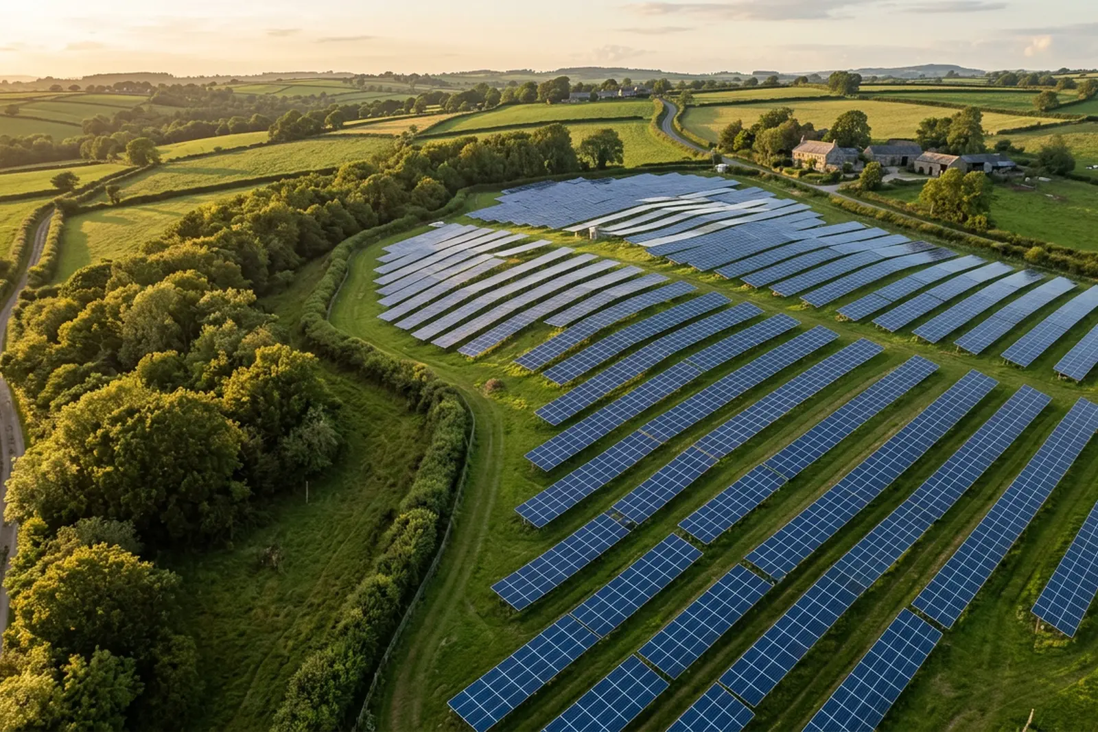
The problem with ground
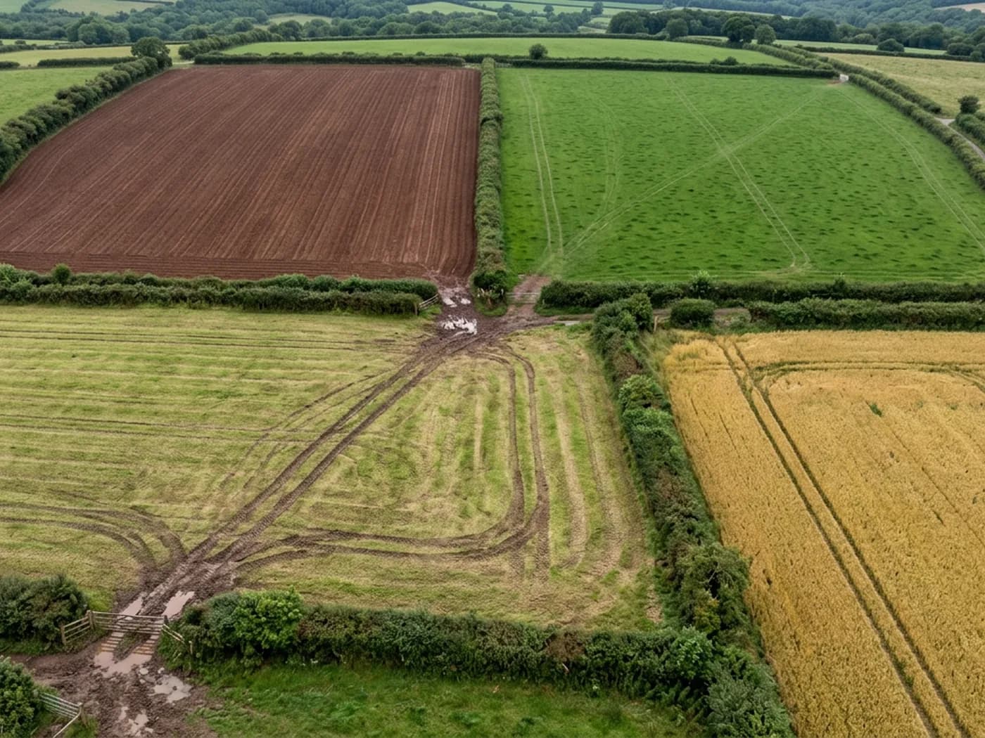
Land is awkward to look at from inside it. A field that reads as flat from the gateway has a fall across it. A boundary that looks straight on the deed plan wanders round an old bank. A stockpile that everyone agrees is about the same as last month is not, and nothing on the yard settles the argument.
The usual answers all have a cost. A ground survey of a large parcel is a long job for a skilled person. A satellite image is old and coarse. A photograph from the gateway shows you the gateway. Meanwhile the decision waiting on it, a purchase, a design, a claim, a report to a client, sits still.
An aerial survey closes that gap for a specific class of question: anything about the shape, extent, condition or change of an area of ground. It is not the answer to every question, and this site is unusually clear about which ones it is not the answer to.
What gets flown
A planned photographic run over a parcel or a site, and the orthomosaic, surface model, contours or point cloud built out of it.
Site mapping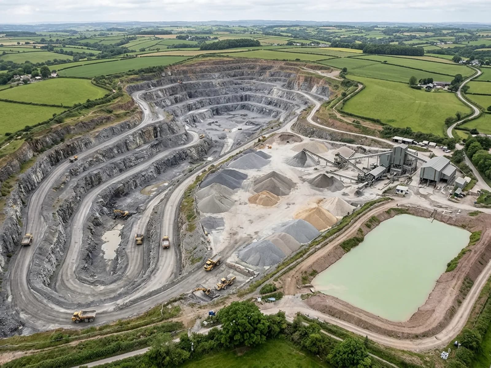
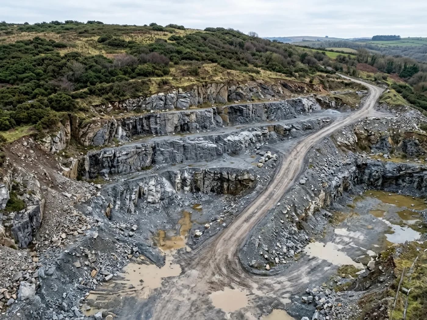
Repeat flights over quarries, aggregate yards, clamps and fill, measuring the difference between one captured surface and the next.
Volumes
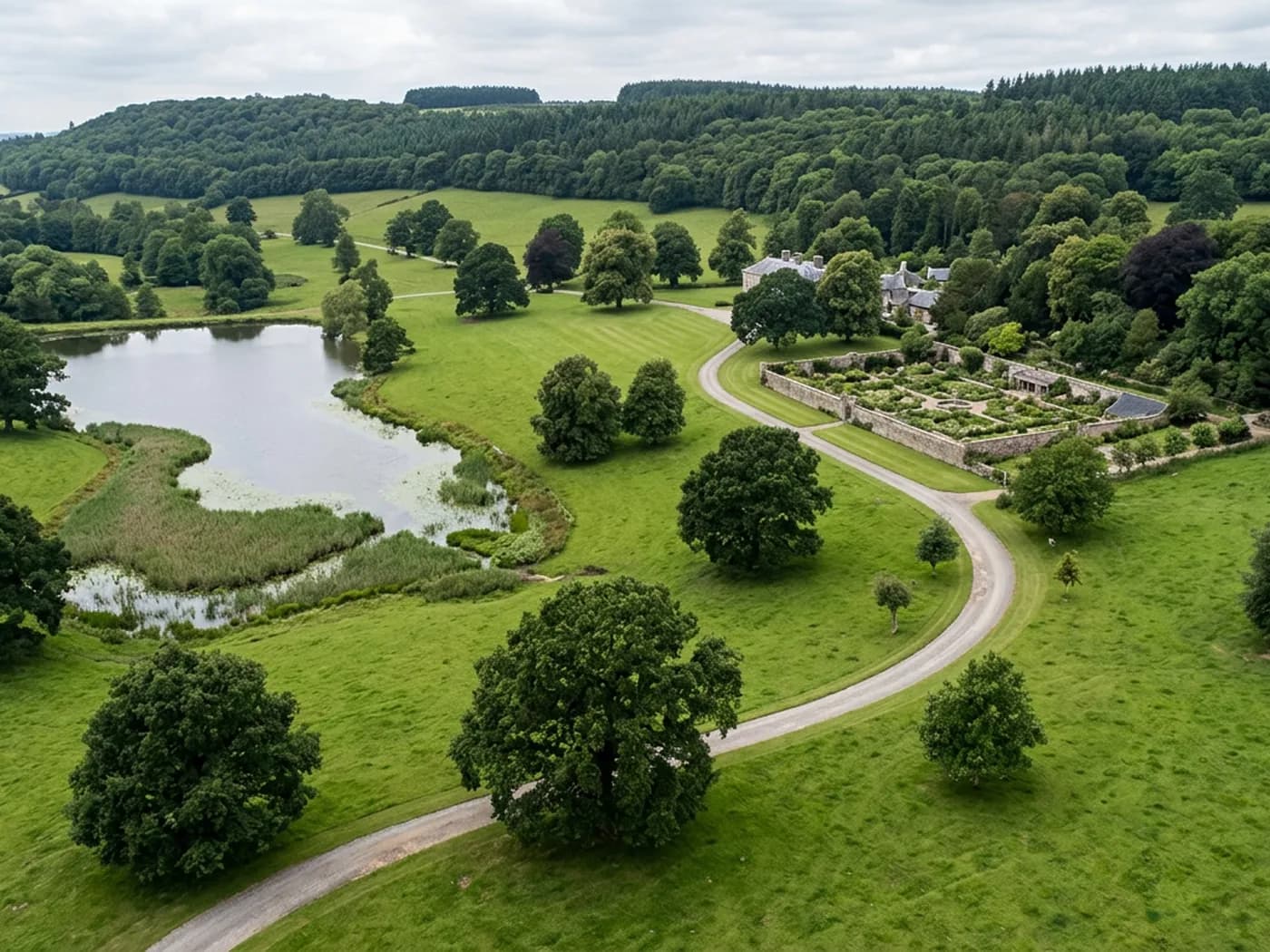
A dated aerial record of a whole holding, farm, estate or solar site, flown so that this year can be put next to last year and read.
Estate recordsCredentials
CAA registered, with an Operator ID and a Flyer ID held. Both are checkable, and any land agent or consultant is welcome to ask for them before a flight is booked.
The A2 CofC, which is what governs how close the aircraft may work to people who are not part of the job. No GVC is held, so operations are planned inside the A2 CofC.
A DJI Mavic 4 Pro carrying a 100 megapixel Hasselblad camera and 6K video, and a DJI Mavic 2 Enterprise Advanced with a 640 by 512 radiometric thermal camera.
Insured with Coverdrone for commercial operations. A certificate goes to your office before the visit if your site induction needs one on file.
What arrives
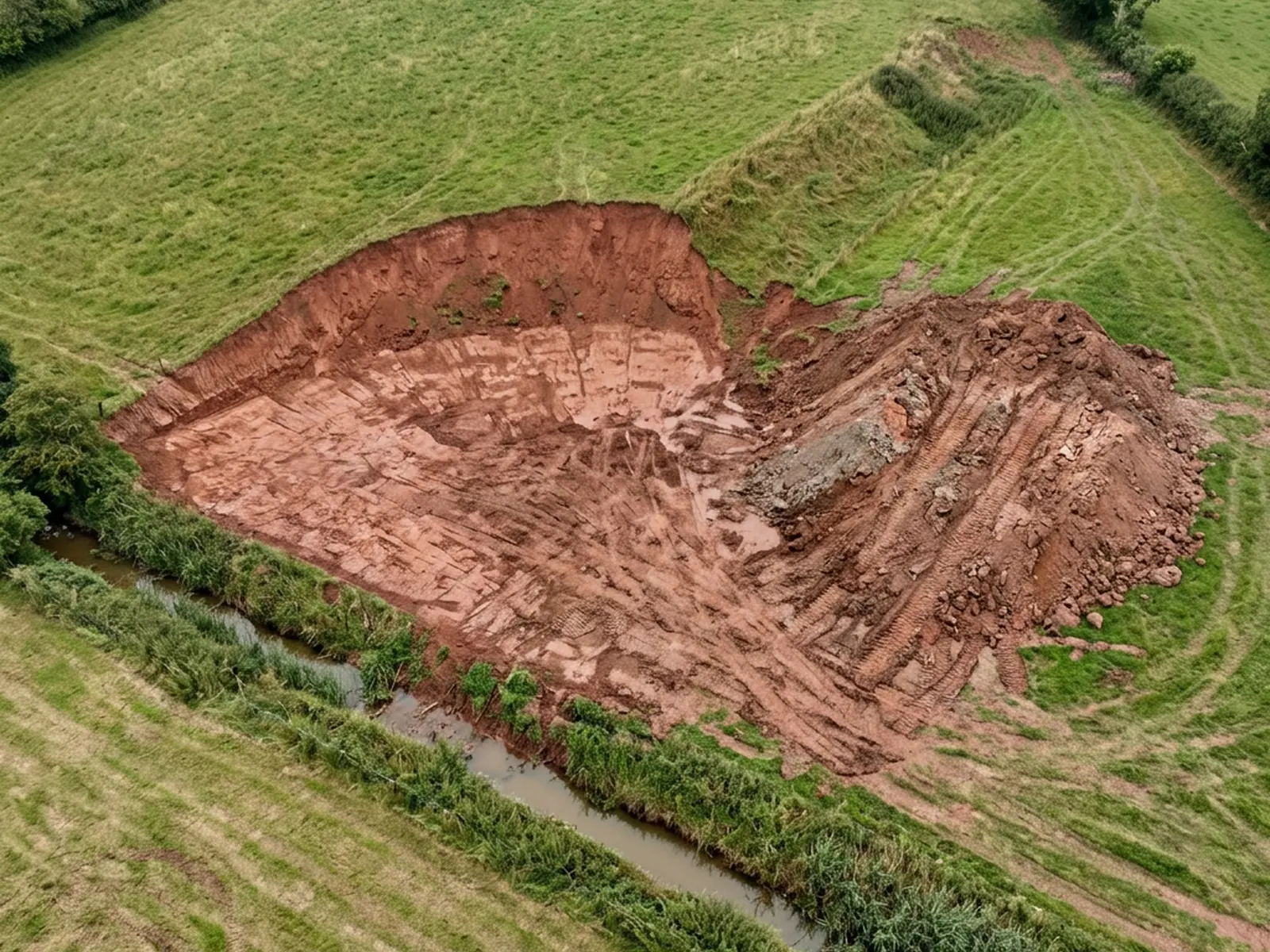
The kind of ground
Where we fly
Questions
Elsewhere
Tell us the output you need
Send the boundary or the postcode and the output you need. Sam Hembury comes back with a fixed price, a date and anything in the brief that needs settling first.