Devon · EX31-EX32
Aerial survey of land and sites around Barnstaple
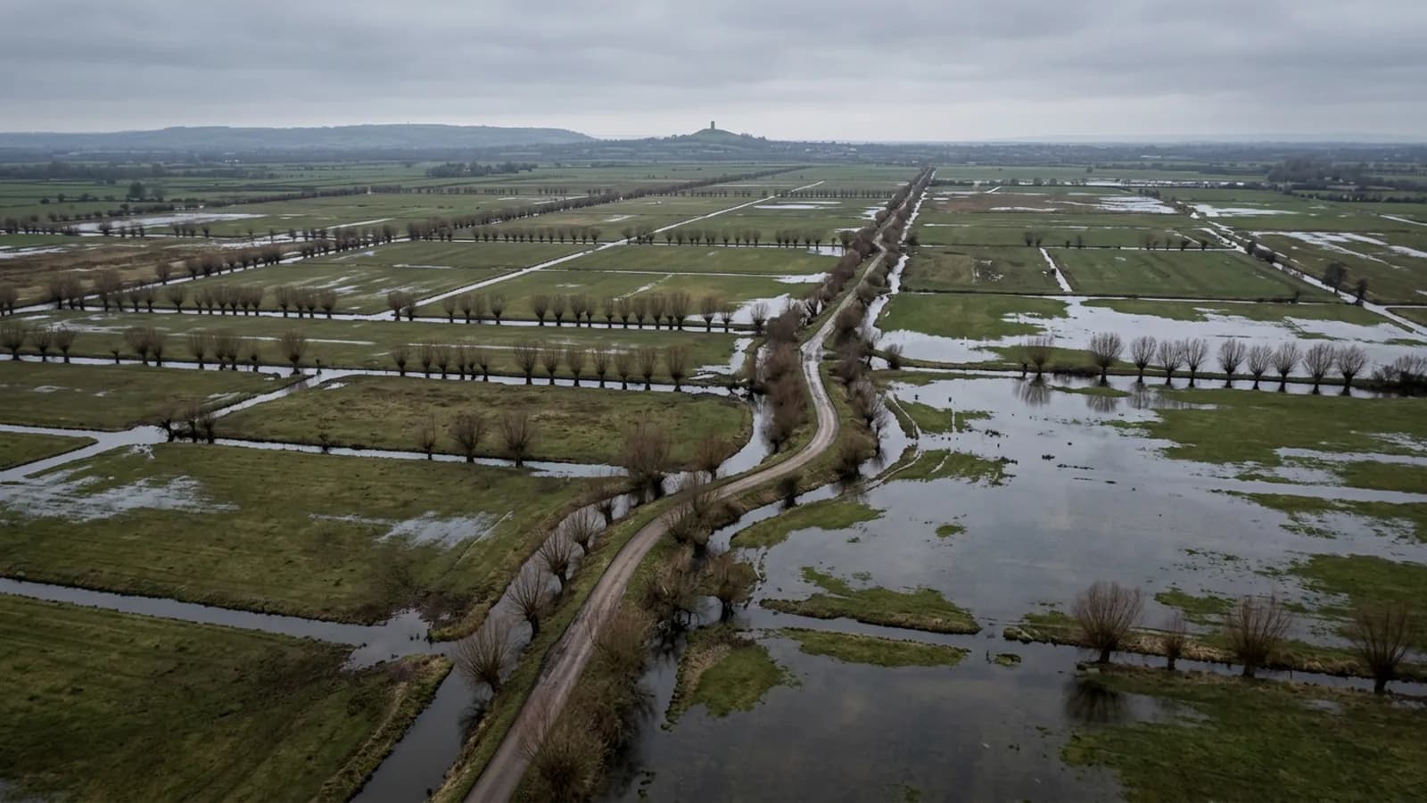
Aerial survey around the tidal Taw, where the tide decides when intertidal ground can be captured and estuary wind decides whether it happens at all.
The tide is part of the flight plan
At the tidal limit of the Taw, a large share of the ground worth surveying is only visible for part of the day. Foreshore, banks, outfalls, revetments and the edge of grazing marsh are all under water on a high spring and clear on a low one.
So a survey of intertidal ground is booked against the tide table first and the weather second. A capture at low water on a settled morning is worth several attempts made at the wrong state of tide, and comparing one year with the next only means anything if both were flown at a similar state. That gets recorded with the survey rather than left to memory.
Water and the limits of a camera
A water surface gives photogrammetry almost nothing to work with: it moves between frames, reflects the sky and offers no fixed detail to match, so it reconstructs as noise or as a hole. Nothing under it reconstructs at all.
On an estuary survey that is not a failure, it is a boundary condition, and it goes in the report as one. What the survey can do is capture everything above the waterline on the day accurately and repeatably, and say exactly where the water was when it did.
Development ground on the edge of the town
There is a steady supply of development and infrastructure work around the edges of this town, on low ground beside the river and up the slopes behind it. That produces the standard pairing: a capture before the contractor arrives and another at handover, on the same plan.
Where earthworks are moving, the same flights carry volumes between the two surfaces. Those figures are only as good as the base surface they are measured against, so that gets agreed at the start and stated on the front of every report rather than assumed from visit to visit.
Wind straight up the estuary
The Taw estuary funnels Atlantic weather inland with very little to break it, and the wind on the open low ground beside the water is regularly stronger than the town forecast suggests. A sheltered launch in the lee of a building tells you nothing about conditions at survey height.
The practical approach is to check the wind aloft rather than the wind on the ground, and to be willing to walk away from a marginal day. A survey flown in too much wind produces frames that will not align cleanly, which wastes the visit anyway.
Linear features and the old railway lines
This area is threaded with linear features: the old railway alignments now used as trails, riverside paths, embankments and flood defences. All of them are corridor jobs rather than block jobs, flown as a strip with overlap along the length and enough width to hold the banks either side.
Corridors price by distance rather than area, so a mile of embankment and a compact field of the same size are quite different visits. Worth knowing before asking for a number.
Behind the survey
What Barnstaple clients are actually buying
Registered operator
CAA registered, with an Operator ID and a Flyer ID held. Both are checkable, and any land agent or consultant is welcome to ask for them before a flight is booked.
A2 Certificate of Competency
The A2 CofC, which is what governs how close the aircraft may work to people who are not part of the job. No GVC is held, so operations are planned inside the A2 CofC.
Aircraft
A DJI Mavic 4 Pro carrying a 100 megapixel Hasselblad camera and 6K video, and a DJI Mavic 2 Enterprise Advanced with a 640 by 512 radiometric thermal camera.
Insurance
Insured with Coverdrone for commercial operations. A certificate goes to your office before the visit if your site induction needs one on file.
Nearby
Also covered around Barnstaple
- BidefordAerial survey on the Torridge, from dune and burrows ground at the estuary mouth to steep bank slopes and working quaysides, all of it in salt air.
- Great TorringtonAerial survey around Torrington, clay working country on a hilltop bluff, with commons, steep wooded slopes and public access all in the same few square miles.
- South MoltonAerial survey on the southern approach to Exmoor, livestock country of steep combes and small parcels where stock in the field is part of the flight plan.
Tell us the output you need
Request a quote in Barnstaple
Send the address and what is worrying you. Sam Hembury will come back with a fixed price and the next slot that suits the weather.