The surveyor
One person plans the flight, flies it and writes the report
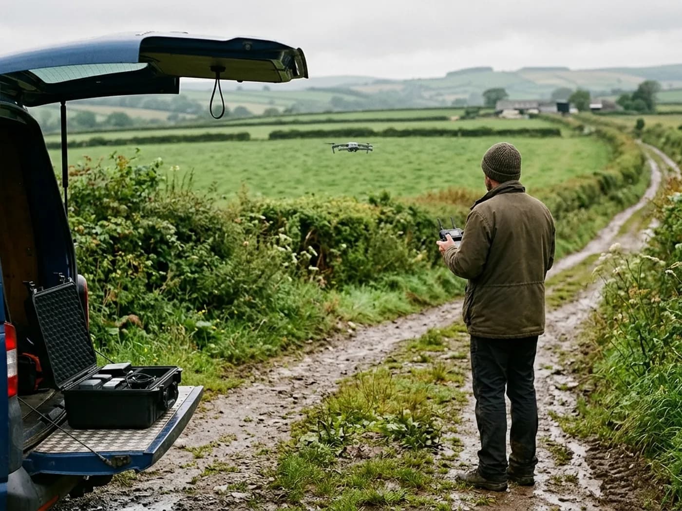
Where this came from
The background is construction rather than photography. Years of standing on sites where the thing everybody needed to see was the part nobody could reach, and where the argument was usually about what the ground was doing rather than about the building on it.
Aerial survey solves a specific version of that problem: it puts the whole of a piece of land in front of you at once, square on, so it can be measured across instead of paced out. That is a plain, mechanical advantage, and it is the one this site sells.
The construction background also decides how the reports read. They are written for someone who has to act on them or forward them to a consultant, so they say what was flown, what the files contain and what the capture could not see, in that order, without adjectives doing a fact's job.
Aerial Survey is one of a small group of sites run out of Exeter, each set up for a different job rather than one general site claiming to do everything. If your job is really a roof, a chimney, a thermal scan or a search, there is a site in that group built for it and you will be pointed at it rather than sold this one.
On the record
Registrations, kit and cover
Registered operator
CAA registered, with an Operator ID and a Flyer ID held. Both are checkable, and any land agent or consultant is welcome to ask for them before a flight is booked.
A2 Certificate of Competency
The A2 CofC, which is what governs how close the aircraft may work to people who are not part of the job. No GVC is held, so operations are planned inside the A2 CofC.
Aircraft
A DJI Mavic 4 Pro carrying a 100 megapixel Hasselblad camera and 6K video, and a DJI Mavic 2 Enterprise Advanced with a 640 by 512 radiometric thermal camera.
Insurance
Insured with Coverdrone for commercial operations. A certificate goes to your office before the visit if your site induction needs one on file.
DJI Mavic 4 Pro
100 megapixel Hasselblad camera and 6K video.
DJI Mavic 2 Enterprise Advanced
640 by 512 radiometric thermal camera alongside the visual camera.
How we work
Three things that do not change from job to job
Fixed price, agreed first
A price for the flight and the outputs listed, travel included, before anyone commits. If the ground turns out to need a second visit, that gets discussed rather than added.
The limits go in writing
Every report carries what the survey could not see: ground under canopy or crop, water surfaces, anything obscured on the day, and whether control was available. A limit found later is a problem; a limit stated up front is just a fact about the job.
No figure without a method
Nothing on this site quotes an accuracy number, because a number quoted without the control it was measured against is decoration. Where a job needs that standard, the page on accuracy and control explains how it is actually reached.
Tell us the output you need
Request a quote with Aerial Survey
Send the boundary or the postcode and the output you need. Sam Hembury comes back with a fixed price, a date and anything in the brief that needs settling first.