How it works
A survey is mostly planning, and the flying is the short part
On the day
From the first message to the finished outputs
- Step 1
You send the ground and the output
A postcode, a boundary, a rough area and what you want at the end. If a consultant has written a specification, send that instead and we will work to it.
- Step 2
We plan it before we price it
Mapping, airspace and the shape of the parcel decide the height, the flight lines and the overlap. That is what turns into a fixed price rather than a day rate with an open end.
- Step 3
You get a fixed price and a date
One price for the flight and the outputs listed, with travel in it. If the job needs a second visit or control setting by someone else, that is said here and not later.
- Step 4
We check the weather window
Wind, rain, cloud base and, in winter, the sun angle. A survey flown into long shadows produces a model with holes in it, so we move the date rather than waste the visit.
- Step 5
The flight itself
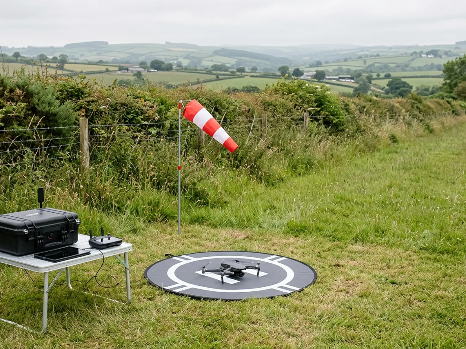
Take off from a point you control, an automated grid or a set of manual passes over the area, then a walk round on foot if anything on the ground needs a closer frame.
- Step 6
Processing and the report
The frames are stitched and built into the outputs you specified, then a written report follows within 48 hours saying what was flown, what is in the files and what the capture could not see.
The report
What lands in your inbox
The outputs you specified
Orthomosaic, surface model, contours, point cloud or volumes, in the formats agreed when the job was priced.
The original frames
The photographs the model was built from, so anything questionable can be traced back to the picture it came from.
A note on the capture
Height flown, overlap, the pattern used, the weather at the time, and whether any control was available on the ground.
What the survey could not see
Ground under canopy or standing crop, water surfaces, anything obscured on the day. Stated as a limit rather than left for you to discover.
Anything worth a second look
Standing water, a slipped bank, a blocked culvert, an access route breaking up. Flagged with the frame that shows it.
Written report within 48 hours
Counted from the flight, not from the enquiry. Large sites processed in stages arrive the same way, with the first outputs and the report inside the 48 hours and the rest following on a date agreed in writing.
Weather and rules
The things that decide whether a survey happens
Airspace
Flight restriction zones around airfields, and restricted ground around some installations, are checked before a price is given rather than discovered on the day. Where a permission is needed we say who has to give it and how long it usually takes.
People on the ground
The A2 Certificate of Competency governs how close the aircraft may work to people who are not part of the job. On a working site or a parcel crossed by a footpath, that is a planning question: where we take off, when we fly, and who needs telling.
Weather
Wind above the aircraft limit and persistent rain stop the flight. Low cloud can put the planned height out of reach. None of that is a reason to fly anyway and hand over a survey that will not process.
The season
Standing crop, full canopy and long grass all sit between the camera and the ground. For anything where the ground surface matters, the window after harvest and before growth is worth waiting for, and we will say so.
Before you book
Common questions
- What accuracy do you quote?
- None, and that is deliberate. A figure quoted without saying how it was measured, over what ground and against what control is worth nothing to you when it matters. Absolute accuracy on an aerial survey comes from control points set and recorded by a land surveyor. If your job needs that standard, bring a surveyor in for the control and we will fly to it. The page on accuracy and control sets out the whole picture.
- What do I actually receive?
- Whatever you specified, plus the written report inside 48 hours of the flight. The usual set is the stitched orthomosaic of the area, a surface model, contours generated from that model, a point cloud, and volumes where two surfaces are being compared. Tell us the file formats and the coordinate system you work in when you ask for the price, because it is easier to plan a flight around an output than to reprocess afterwards.
- How big an area can you cover in a visit?
- It depends on the height the job allows, the shape of the ground and the weather window on the day, so the sensible answer comes after we have looked at the parcel rather than before. Send a boundary or a postcode and we will tell you whether it is one flight, several batteries or two visits, and price it that way.
- Do you need to come on site first?
- Usually no. Most of the planning is done from mapping and airspace data before we travel: the take off point, the flight lines, the height, where people and livestock are likely to be, and whether any permission is needed. For a complex or restricted site a short look first saves an aborted flight, and we will say so when we quote.
- Can you fly over land I do not own?
- The aircraft can pass over neighbouring ground in some circumstances, but the take off and landing point has to be land you control or have permission to use, and the flight has to keep the separation the A2 Certificate of Competency requires from people who are not part of the job. Tell us early if the parcel is tenanted, split by a road or crossed by a public footpath, because that changes the plan rather than the price.
- What stops a flight?
- Wind above the aircraft's limit, persistent rain, low cloud that puts the height out of reach, and airspace restrictions we have not been able to clear in time. Low winter sun matters too, because long shadows across a field hide the ground the model needs to see. We watch the forecast and move the visit rather than fly a survey that will not process.
- Do you work for consultants and contractors as well as landowners?
- Yes, and a good share of the work arrives that way. If you are specifying on behalf of a client, send the specification and we will tell you plainly which parts we can meet, which need control set by a land surveyor, and which need a different instrument altogether.
Tell us the output you need
Request a quote with Aerial Survey
Send the boundary or the postcode and the output you need. Sam Hembury comes back with a fixed price, a date and anything in the brief that needs settling first.