Accuracy and control
Where accuracy actually comes from, and why there is no number on this site
The long answer
Read once and you will be able to brief any aerial survey, from us or from anyone else, without taking a number on trust.
Two different things get called accuracy
The first is whether the model is internally consistent: whether a distance measured across it matches the same distance measured across the ground. That comes out of the geometry of the capture, and a well flown grid with heavy overlap over textured ground does it well.
The second is whether the model sits in the right place on the earth, so that a point in it lines up with the same point in a national coordinate system and with everyone else's data. That is a completely different property, and no amount of good flying produces it on its own.
Most published accuracy figures blur those two together, which is how a number that describes the first quietly gets read as a promise about the second.
What ground control is
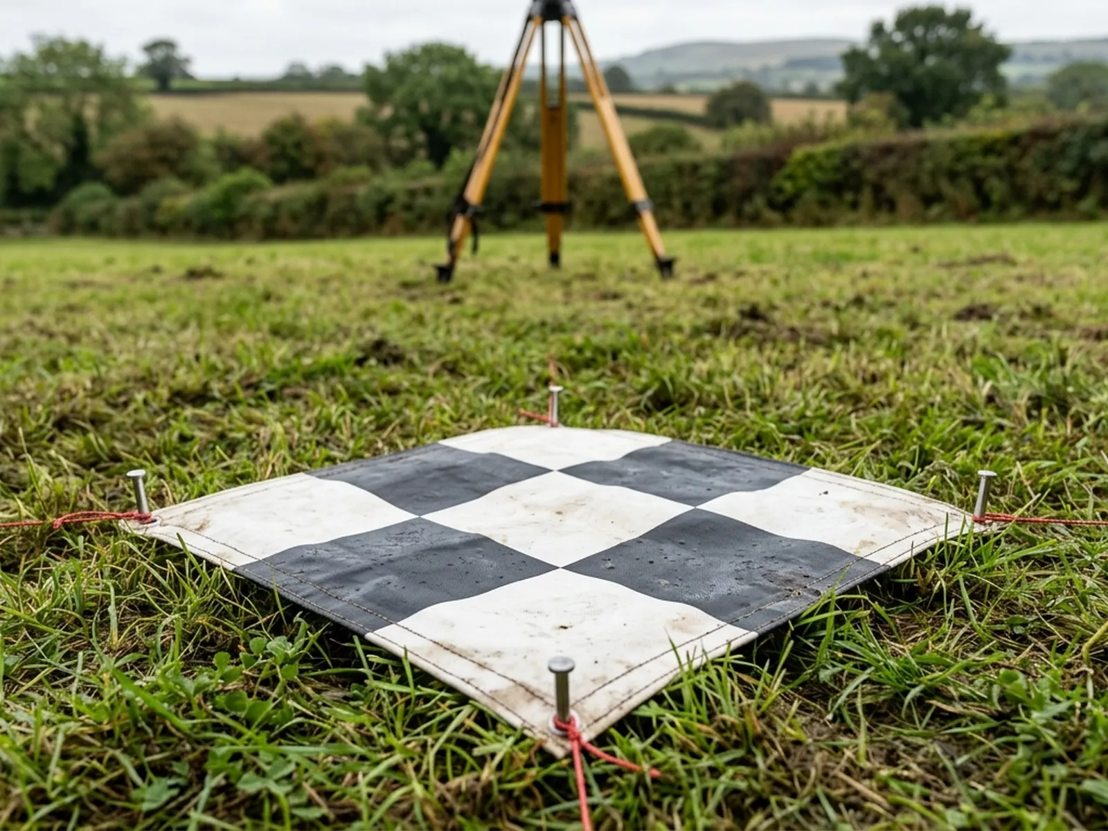
Ground control is a set of marked points on the site whose positions have been measured independently, by a land surveyor with survey grade GNSS or a total station, in the coordinate system the job is being delivered in. The markers are laid out so they are visible from the air, spread across the area rather than clustered, and recorded before or during the flight.
During processing, the model is tied to those known points. That is the step that takes a photogrammetric model from being internally consistent to being correctly placed and scaled. It is also the step that lets somebody check the result, because the residuals at the control points can be inspected rather than taken on trust.
Setting and recording that control is a land surveyor's job, not a drone operator's, and it needs their instruments. Where a job needs survey grade absolute accuracy, bring a surveyor in for the control and we will fly to it. That is a plain division of labour and it is how the properly specified jobs in this field actually run.
Why we publish no figure
A tolerance quoted on a website has no site, no control, no ground cover and no weather attached to it. It was produced on somebody's ground, in somebody's conditions, against somebody's control, and none of those are yours. Reprinted as a headline it becomes a promise about your parcel that nobody has tested.
The version that would be true is long: this height, this overlap, this ground cover, this control layout, checked this way. That belongs in a report about a specific job, and that is where you will find it from us.
So there is no number on this site, and that is a deliberate policy rather than an omission. If a competitor quotes one, the useful question to ask them is what control it was measured against and what happens to it without control on your site.
What the aircraft contributes on its own
Without control, a survey is positioned by the aircraft's own satellite positioning. That is enough for a great many jobs: seeing the whole parcel square on, comparing this year with last year, spotting standing water, measuring the difference between two surfaces flown the same way, putting a dated record on file.
It is not enough when the output has to agree with somebody else's data to a defined tolerance: a design surface, a legal boundary, a formal volume for royalty or reporting, a model that has to be dropped into a coordinated set of drawings. Those need control.
The line between the two is not subtle, and the sensible thing is to establish which side of it your job sits on before anybody flies. That conversation costs nothing and it happens before the price, not after the invoice.
What a camera cannot do at all
Photogrammetry measures the surface the camera can see. Under a closed tree canopy, standing crop, deep gorse or long grass, the model follows the top of the vegetation, and filtering it towards bare earth is an estimate rather than a measurement. Under a canopy that never opens, it is a guess dressed up as a surface.
Water is the other one. A water surface gives the camera nothing to match between frames, so it reconstructs badly or not at all, and nothing under it reconstructs at all. A flooded quarry floor, a filled cell, a pond in a parcel: those are stated as gaps in the report, not filled in.
Where levels have to be known under vegetation, the tool is airborne laser scanning, which is a different aircraft, a different instrument and a different budget. Saying so costs us the odd job and saves everybody the argument afterwards.
How to specify a job so it lands right
Say what the output is for. A model going into a design package, a figure going into a formal report and a picture going onto a management file have different requirements, and knowing which one it is settles nearly every other question.
Say what coordinate system and what file formats you work in, and whether anyone has set control on the site before. Existing control on a working site is worth a great deal, because a repeat survey tied to the same points is directly comparable with the last one.
Say what the ground will be doing. Standing crop, full canopy, stock in the field and standing water all change what a flight can deliver, and the fix is usually a date rather than a technique.
Then let the flight be planned around all of that. It is far cheaper to plan a capture for an output than to reprocess a capture that was never going to give it.
Before you brief anyone
Six things worth settling first
- 01
What the output is for
Design, formal reporting, management, or a dated record. This one decides the rest.
- 02
Whether control exists
Has a land surveyor set and recorded points on this site, and can we have their coordinates?
- 03
Coordinate system and formats
What your software expects, agreed before the flight rather than after processing.
- 04
Ground cover on the day
Crop, canopy, grass length and standing water, all of which sit between camera and ground.
- 05
Access and airspace
Where we can take off, who else uses the ground, and whether the site sits under any restriction.
- 06
Whether it repeats
If this survey will be flown again, the plan is written down on the first visit so the second one matches.
Control
What people ask once they have read that
- Can you set the control yourselves?
- No. Measuring control points to survey grade needs a land surveyor and their instruments, and that is where that work belongs. We will fly to control somebody else has set, use their coordinates in processing, and report the result against them.
- Does the drone not have satellite positioning already?
- It does, and that is what positions a survey flown without control. It is enough for comparison, extent, condition and volumes between two surfaces flown the same way. It is not the same thing as a model tied to independently measured points on the ground, and this site will not describe it as though it were.
- How do I know what standard my job needs?
- Ask whoever is going to use the output. A designer, an agent or a consultant will normally tell you straight away whether the result has to agree with existing survey data or whether a dated, measurable picture of the ground is what they are after. If they are unsure, send us the question and we will set out both routes.
- Is a survey without control worth having?
- For a great many jobs, yes, and most of the work on this site is exactly that. The mistake is not flying without control, it is flying without control and then presenting the result as though it had some. Every report here says which it was.
Tell us the output you need
Send the specification and we will tell you what it needs
Including the parts that need a land surveyor rather than an aircraft. That answer is free and it is quicker than finding out afterwards.