Devon · EX20
Aerial survey of land and sites around Okehampton
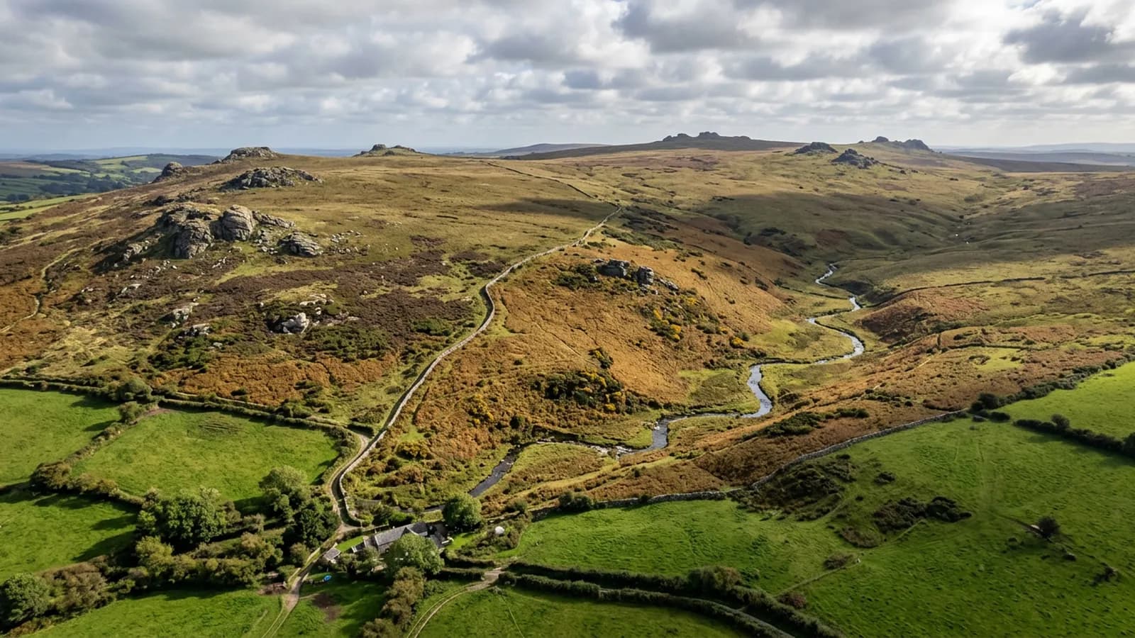
Aerial survey on the northern edge of Dartmoor, where military range days and some of the worst weather in the county decide what can be flown, and when.
Range days come before everything else
The northern quarter of Dartmoor carries military training areas, and when firing is on, the ground is closed and the red flags are up. Any survey of land inside or adjoining those areas is planned around the published firing programme, and nothing about a drone changes that.
It is a straightforward constraint to work with as long as it is checked at the start. What causes trouble is a booking made without looking, a two hour drive, and a day nobody can use. Where a parcel sits near the ranges, the date is chosen against the programme before it is offered.
The wettest and windiest ground on this list
Dartmoor forces Atlantic air upwards right on the doorstep of this town, which makes it one of the wettest and windiest places covered by this site. Wind above the aircraft's limit stops a flight outright, and hill fog can sit on the high ground while the town below is clear.
For a survey that means two things. First, a realistic booking has slack in it. Second, the flying window that does appear should be used properly: a whole holding captured in one settled morning is worth more than three half-finished visits made in marginal conditions.
Open moor, granite and enclosure walls
The moor itself is unusual ground to model. Rough grass, heather, bracken and gorse are all vegetation, so the surface that comes back is the top of the cover rather than the peat and granite beneath it. Where a bank or a wall runs through it, that shows clearly; where the ground is under deep bracken in late summer, it does not.
Winter and early spring, once the bracken has gone down, is far better country to survey than August. That is the sort of thing worth knowing before a date is fixed, and it costs nothing to plan around.
Quarry and infrastructure ground below the moor
There is extraction ground and old railway infrastructure on this side of the moor as well as farming, and both throw up the kind of work this site is built for: a face and its benches captured in a repeatable way, a structure and its approaches recorded before works, an access track surveyed before a contractor uses it.
Working faces need the same discipline here as anywhere: agree the base surface first, fix the flight plan once, and keep the toes of the stockpiles visible so the volumes have somewhere to stop.
Longhouses, farmsteads and the ground around them
The moorland parishes around this town hold scattered farms and longhouses with granite walls, slate roofs and yards that have grown outward over a couple of centuries. A whole-holding record here is worth having precisely because so little of it is documented anywhere.
A survey of one covers the yard and the outbuildings, the tracks in and out, the walls and banks that mark the enclosure, and the ground where the enclosed land gives way to open moor. That last line is often the one people actually want on record, because it is the boundary that moves in argument and never on the map.
Behind the survey
What Okehampton clients are actually buying
Registered operator
CAA registered, with an Operator ID and a Flyer ID held. Both are checkable, and any land agent or consultant is welcome to ask for them before a flight is booked.
A2 Certificate of Competency
The A2 CofC, which is what governs how close the aircraft may work to people who are not part of the job. No GVC is held, so operations are planned inside the A2 CofC.
Aircraft
A DJI Mavic 4 Pro carrying a 100 megapixel Hasselblad camera and 6K video, and a DJI Mavic 2 Enterprise Advanced with a 640 by 512 radiometric thermal camera.
Insurance
Insured with Coverdrone for commercial operations. A certificate goes to your office before the visit if your site induction needs one on file.
Nearby
Also covered around Okehampton
- TavistockAerial survey in the Tavy and Tamar valleys, mining country where spoil, shafts and leats make ground far better looked at from above than walked over.
- CreditonAerial survey across the Creedy valley, productive Mid Devon farmland where steep sides and long parcels decide how a flight has to be planned.
- HolsworthyAerial survey across the Culm Measures plateau of north-west Devon, big farm country where heavy clay makes winter ground access poor and the wind rarely stops.
- ExeterAerial survey around Exeter: Clyst valley floodplain, the estuary head and the development land east of the city, close to restricted airspace.
Tell us the output you need
Request a quote in Okehampton
Send the address and what is worrying you. Sam Hembury will come back with a fixed price and the next slot that suits the weather.