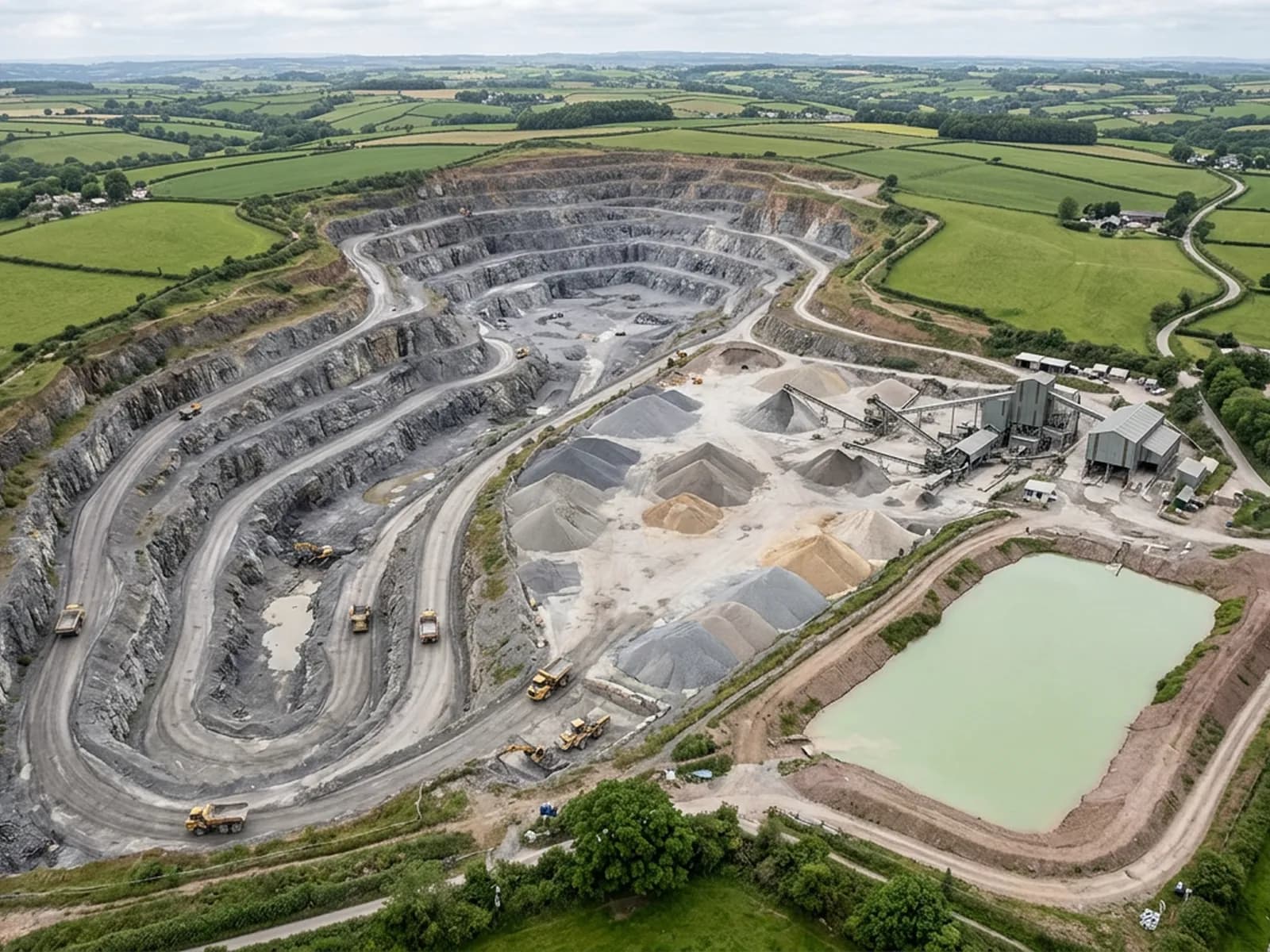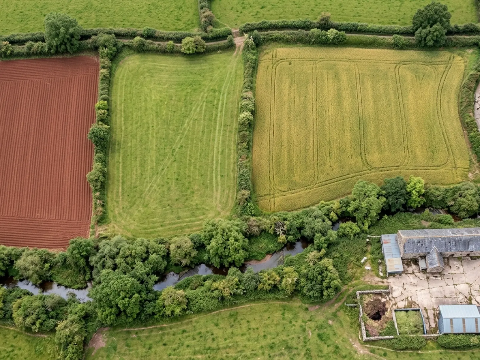
Aerial site mapping
A planned photographic run over a parcel or a site, and the orthomosaic, surface model, contours or point cloud built out of it.
- A flight plan drawn round your parcel before the price is agreed, not on the day
- A stitched orthomosaic of the whole area, square on, at the resolution the flight height allows
- A surface model of the ground and everything standing on it
- Contours generated from that surface model where you have asked for them