Somerset · TA1-TA4
Aerial survey of land and sites around Taunton
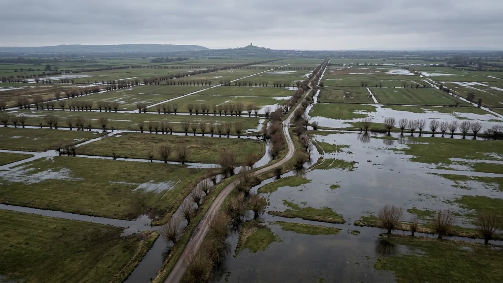
Aerial survey across the Vale of Taunton Deane: big flat parcels and constant development ground, drier than Devon but with vale fog in the mornings.
Big flat parcels, which is efficient country to fly
The vale floor is level and the fields are larger than the Devon average, which makes this some of the most efficient survey ground covered by this site. A single flight height holds across a whole block, coverage per battery is predictable, and a large area can be captured in one visit without the day breaking up into short runs.
That shows in the price rather than in the quality. The same acreage costs less to fly here than on a broken Devon hillside, and the quote reflects the ground rather than a standard rate applied everywhere.
Vale fog and winter frost
Sheltered low ground holds fog, and this vale produces it readily on still autumn and winter mornings. It clears, but usually later than a diary would like, so winter bookings here are made for late morning as a matter of course.
Frost is a smaller matter but worth a line: a hard frost gives ground a texture it does not have in the wet, and a frosty morning after fog has lifted is often the best capture of the whole winter on grassland.
Development on every side of the town
There is major development ground on all four sides here, at every stage from allocated field to finished estate. That produces steady demand for the two straightforward jobs: a dated capture of a parcel before anybody moves onto it, and volumes between surfaces once material starts shifting.
Both depend on the same discipline. The base surface is agreed before the first flight, the plan is written down, and every later visit repeats it. A second survey flown at a different height on a different pattern is not comparable with the first, whatever the software says.
Orchards, plantations and anything planted in rows
Somerset ground carries orchards, vineyards and plantations, and anything planted in rows is a natural aerial subject. Row layout, gaps, replanting, canopy vigour and the state of the headlands all read at once from above and take a long walk to establish on foot.
What the capture provides is the picture and the measurements off it. Interpretation of vigour or health belongs to an agronomist, and where thermal or multispectral data is what somebody actually wants, that should be said at the brief, because it is a different sensor and a different flight rather than a filter applied afterwards.
Hills around the edges
The vale is ringed by the Quantocks, Blackdowns and Brendons, and the moment a parcel climbs onto any of them the flat-ground assumptions stop applying: height above ground varies across the plan, and the hills produce localised gusting in unsettled weather that the vale never sees.
Sites on the slopes are planned as separate runs by height band. Sites on the vale floor are not. Knowing which one a parcel is happens at planning, not on arrival.
Sports ground, parks and other managed turf
Large areas of managed turf are common around this town, and turf is a subject that rewards being looked at from above. Wear patterns, drainage runs, compaction on entry points and the state of an outfield after a wet spell all form visible patterns that nobody standing on the grass can see.
A capture gives the picture and the measurements off it, and a repeat capture through a season shows what is getting better and what is not. As with any site that fills with people, the flight is planned for a time when the ground is clear.
Behind the survey
What Taunton clients are actually buying
Registered operator
CAA registered, with an Operator ID and a Flyer ID held. Both are checkable, and any land agent or consultant is welcome to ask for them before a flight is booked.
A2 Certificate of Competency
The A2 CofC, which is what governs how close the aircraft may work to people who are not part of the job. No GVC is held, so operations are planned inside the A2 CofC.
Aircraft
A DJI Mavic 4 Pro carrying a 100 megapixel Hasselblad camera and 6K video, and a DJI Mavic 2 Enterprise Advanced with a 640 by 512 radiometric thermal camera.
Insurance
Insured with Coverdrone for commercial operations. A certificate goes to your office before the visit if your site induction needs one on file.
Nearby
Also covered around Taunton
- BridgwaterAerial survey across the Somerset Levels and the tidal Parrett, flat ground cut by rhynes and droves, with unbroken wind and restricted airspace to check first.
- MineheadAerial survey between Exmoor and the Bristol Channel, where North Hill throws downdraughts over the ground below and the moor above has its own weather.
Tell us the output you need
Request a quote in Taunton
Send the address and what is worrying you. Sam Hembury will come back with a fixed price and the next slot that suits the weather.