Somerset · TA24
Aerial survey of land and sites around Minehead
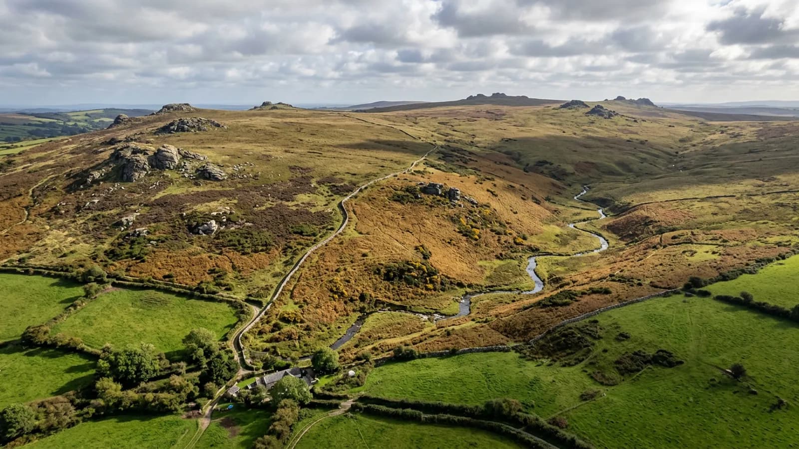
Aerial survey between Exmoor and the Bristol Channel, where North Hill throws downdraughts over the ground below and the moor above has its own weather.
Air in the lee of a steep hill
North Hill rises straight behind the town, and steep ground with wind over it produces downdraughts, eddies and rotor in its lee. That air is not turbulent everywhere, and it is not predictable from a district forecast: it depends on wind direction, strength and the shape of the hill it has just crossed.
For a survey it means judging conditions on site and being willing to abandon a flight that is fighting the air rather than flying through it. A wind that is entirely workable on the seaward side can be unusable half a mile inland under the hill, and the difference matters because gusts break the even spacing a survey grid depends on.
Moorland above, coast below
Few places on this list pack as much variety into a short distance: harbour and quay, a steep wooded hill, and open Exmoor above it. A holding here can include all three, and each behaves differently under a camera.
Open moor models as vegetation rather than ground, woodland hides what is beneath it, and the coastal strip needs the tide considered. Where a survey spans them, the report separates what was captured well from what was captured with reservations, rather than presenting a single confident surface across the lot.
Bracken, heather and the season
Exmoor cover is deep. Bracken in late summer stands high enough to hide banks, walls, tracks and archaeology completely, and heather is not much better on the higher ground.
A survey of moorland ground flown between late autumn and early spring is a different product from the same survey flown in August, and on this ground the season is the single biggest decision after the weather. Where the timing is not negotiable, the report says what the cover was and what it is likely to be hiding.
The heritage railway and other corridors
The preserved line runs along this coast, and railways, whether operating or preserved, are corridor jobs: a strip flown along the alignment with the embankments, cuttings and drainage either side, priced by length rather than by area.
Anything on or beside an operating line needs the operator's agreement in advance. That conversation happens before a date is offered rather than after a quote is accepted.
Holiday ground and people who are not part of the job
A large share of the developed ground here is holiday accommodation, and in season it is full of people who have nothing to do with the survey. The A2 Certificate of Competency sets how close the aircraft may work to them, which makes timing the deciding factor.
Out of season, early morning and midweek all help. Where a site cannot be cleared, the flight covers the parts that can be and the report is explicit about what was left, rather than quietly delivering a partial capture as though it were complete.
Harbour, quay and hard standing
The working ground at the western end of the town is quay, slipway and hard standing, where material is stacked, boats are laid up and space is at a premium. That is ordinary volume and layout work, with the tide as an extra variable.
A capture at low water and a capture at high water are surveys of different surfaces, so the state of tide is fixed at the booking and recorded with the results. It is the sort of detail that costs nothing to get right and makes two visits comparable a year apart.
Behind the survey
What Minehead clients are actually buying
Registered operator
CAA registered, with an Operator ID and a Flyer ID held. Both are checkable, and any land agent or consultant is welcome to ask for them before a flight is booked.
A2 Certificate of Competency
The A2 CofC, which is what governs how close the aircraft may work to people who are not part of the job. No GVC is held, so operations are planned inside the A2 CofC.
Aircraft
A DJI Mavic 4 Pro carrying a 100 megapixel Hasselblad camera and 6K video, and a DJI Mavic 2 Enterprise Advanced with a 640 by 512 radiometric thermal camera.
Insurance
Insured with Coverdrone for commercial operations. A certificate goes to your office before the visit if your site induction needs one on file.
Nearby
Also covered around Minehead
- BridgwaterAerial survey across the Somerset Levels and the tidal Parrett, flat ground cut by rhynes and droves, with unbroken wind and restricted airspace to check first.
- TauntonAerial survey across the Vale of Taunton Deane: big flat parcels and constant development ground, drier than Devon but with vale fog in the mornings.
- South MoltonAerial survey on the southern approach to Exmoor, livestock country of steep combes and small parcels where stock in the field is part of the flight plan.
Tell us the output you need
Request a quote in Minehead
Send the address and what is worrying you. Sam Hembury will come back with a fixed price and the next slot that suits the weather.