Cornwall · PL14
Aerial survey of land and sites around Liskeard
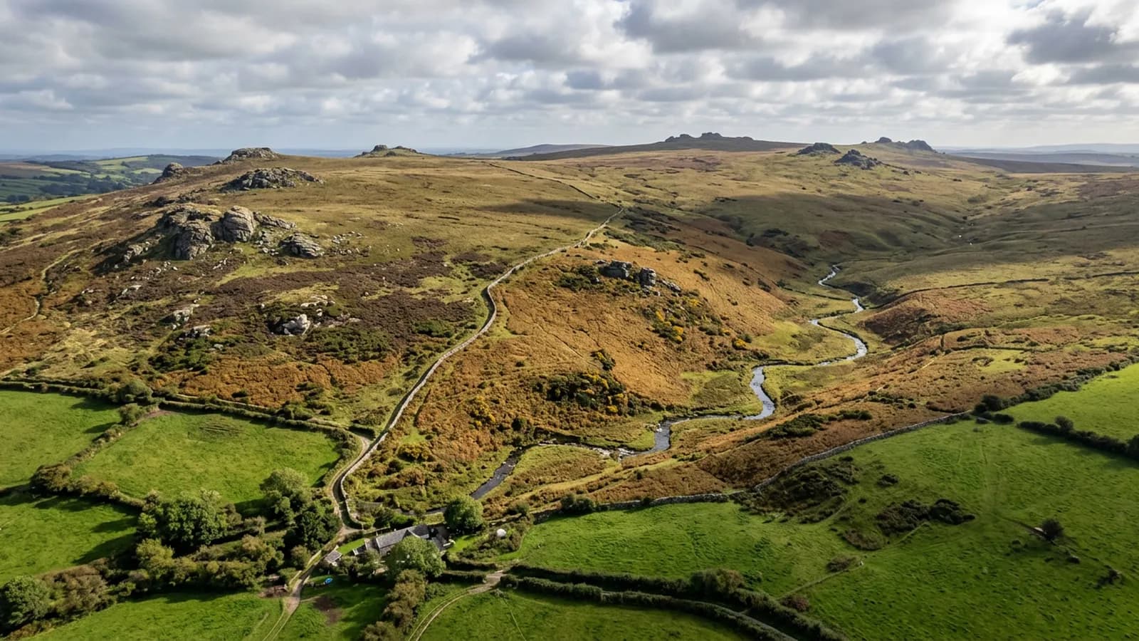
Aerial survey between Bodmin Moor and the south Cornish coast, granite and renewables country where turbines and high open ground shape the flight plan.
Turbines change how a site is flown
This part of Cornwall carries a good deal of renewable generation, and wind turbines are a genuine planning consideration rather than a scenic detail. They are tall, they move, and the air downwind of a working turbine is disturbed in a way that matters to a light aircraft holding a survey line.
So a survey on ground with turbines on it is planned around them: flight lines set to keep clear, heights chosen deliberately, and the operator spoken to where the machines are close to the working area. None of that is difficult, but it has to happen before the visit rather than being improvised on arrival.
Solar ground on the high fields
Arrays are common on the open ground here, and from above an array is a straightforward subject: rows, tracks, inverter stations, fencing, drainage and the state of the grass and scrub growing through and under the panels.
What a daylight survey covers is the site. What it does not cover is the electrical condition of the panels, which shows in thermal rather than in visible light and needs a different camera on a different flight. There is a separate site in this group set up for that, and pointing at it is more use than pretending one flight does both.
Granite, workings and the moor edge
Bodmin Moor rises to the north, and the ground below it carries granite workings, old and current, along with the remains of a long mining history. Rough ground, quarry faces, spoil and scrub, most of it awkward to walk and straightforward to fly.
The limits are the ones this site repeats because they matter: gorse and scrub hide surface detail, particularly in late summer; a vertical face needs oblique passes rather than a downward grid; and a volume needs an agreed base surface before anybody flies.
Steep valleys on the eastern side
The valleys east of the town are steep and wooded, and they concentrate every constraint at once: height change across a short distance, canopy hiding the ground beneath it, and shade for much of a short winter day.
A survey there is planned in sections, flown when the light is at its best rather than when the diary is free, and reported with a clear statement of which parts of the parcel the model can be trusted on and which it cannot.
High, open and wet
Rainfall here is well above average and the ground is high and open, so driving rain from the south-west is more or less the winter default. Wind, not rain, usually decides whether a flight happens, because the rain passes and the wind does not.
Repeat sites cope with this well: the plan is on file, so a visit can be flown at short notice when a decent morning arrives. One-off bookings are made against a target week rather than a fixed day.
The valley line and other linear ground
A branch line runs south from here down a wooded valley, and railways of any kind are corridor jobs rather than block jobs: a strip flown along the alignment, wide enough to hold the cuttings, embankments and drainage either side, priced by length.
Vegetation encroaching on a line, the condition of a cutting after heavy rain and access for maintenance are the usual reasons for asking. Anything involving an operating railway needs the operator's agreement before a date goes in the diary, and that conversation happens first.
Behind the survey
What Liskeard clients are actually buying
Registered operator
CAA registered, with an Operator ID and a Flyer ID held. Both are checkable, and any land agent or consultant is welcome to ask for them before a flight is booked.
A2 Certificate of Competency
The A2 CofC, which is what governs how close the aircraft may work to people who are not part of the job. No GVC is held, so operations are planned inside the A2 CofC.
Aircraft
A DJI Mavic 4 Pro carrying a 100 megapixel Hasselblad camera and 6K video, and a DJI Mavic 2 Enterprise Advanced with a 640 by 512 radiometric thermal camera.
Insurance
Insured with Coverdrone for commercial operations. A certificate goes to your office before the visit if your site induction needs one on file.
Nearby
Also covered around Liskeard
Tell us the output you need
Request a quote in Liskeard
Send the address and what is worrying you. Sam Hembury will come back with a fixed price and the next slot that suits the weather.